Up Next - The Peak of Data Integration 2025!
Are you ready? Next year we're bringing the Peak of Data Integration to an entirely new city —(drum roll, please...) Seattle, Washington! We hope you'll join us from May 6-8, 2025, for three days of unparalleled knowledge sharing with the leading experts in data integration.
Meet us at the Hyatt Regency Seattle for the biggest gathering of FME users yet! Attendees can look forward to attending inspiring presentations, networking with the best in data integration, and the signature Safe Software entertainment along with plenty of new event features and exciting surprises.
As Safe Software grows, so does The Peak of Data Integration. This next multi-day conference will be one to remember, and we look forward to welcoming you there.
Subscribe to our email list using the form below to be one of the first to receive updates and new details about the event. More information is on its way, but for now, mark your calendars May 6-8, 2025 for the Peak of Data Integration!
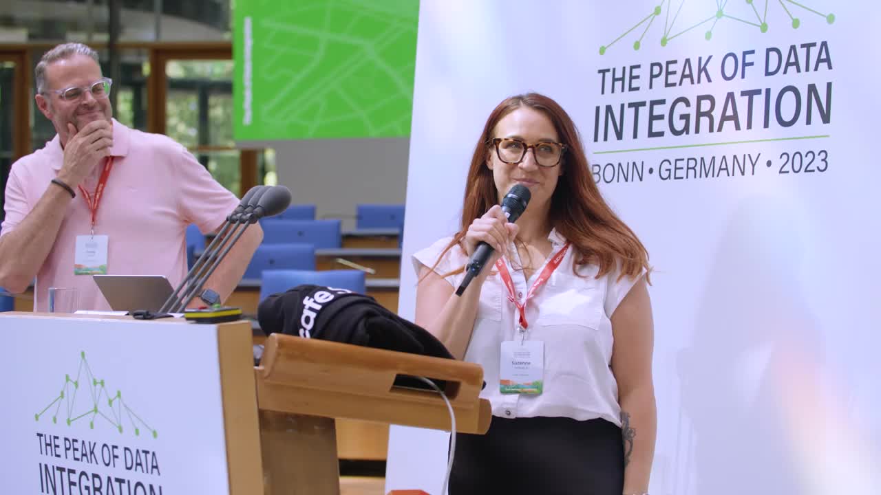
2023 Recap Video & On-Demand Sessions
Didn't get the chance to make it to Bonn? No problem! Check out the Safe Software Presentation Gallery for a select number of session recordings and slide decks. To view slide decks from presentations that were not recording, you can find them on the Safe Software Slideshare page.
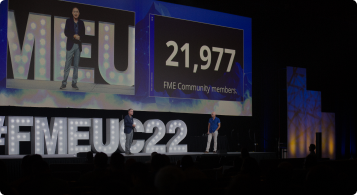
Lastly, please enjoy the Peak of Data Integration 2023 recap video to catch the highlights of some great moments from the Conference!
Event Hosts

5 Reasons to Attend
1. Expand Your Knowledge of Data Integration & FME’s Capabilities
2. Network With Members of the FME Community
3. Meet Safe Software’s Experts and the Minds Behind FME
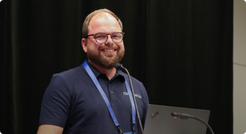
4. Attend Talks to Hear Stories from FME Users, Just Like You
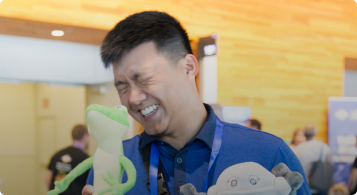
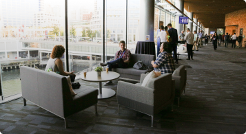
5. Take a Break - Have Fun in Between Learning
Sign up to be Notified
Please fill out this form to be the first to know about event updates.